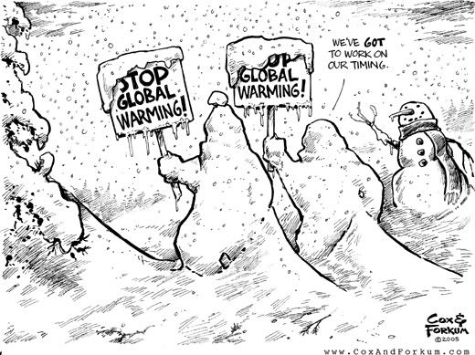
THIS WEEK (8-14 APR): Last year was record warm, this year record cold! April is currently tracking as the coldest April in 113 years - a dramatic change from last years #1 warmest ever. Even after some late month moderation, April 2007 will likely keep the month in the top 7 coldest in history. The Southwest is the one exception, but even here temperatures will cool dramatically late in the week. And, the snow is not over! Short range computer models hint at the possibility of a stronger snow storm from Colorado to Wisconsin late in the week into the weekend. This will be the heavy wet variety. The week overall is expected to show the greatest change toward wetter weather in two years - another very big negative for retail sales and for early planting of this years Corn and Bean crop. Weather Trends had forecast this to be the coldest April in 7 years and the wettest in 3 years. It will very likely be the coldest in 10 years and wettest in three. On a more uplifting note, Al Peterlin, Weather Trends International VP, reminds growers, “Planting rates can accelerate quickly after a slow start. Consider 1998 and 2005. In 1998 only about 15 percent of the crop was in the ground by the end of April, in 2005 only about 30 percent. Still, by the last week of May, 93 to 95 percent of planting was complete and final yields were strong.”
NEXT WEEK (15-21 APR): More of the same, although not as wet. Another reinforcing shot of cold air for the East early in the week with more frost and freezes likely in the Middle Atlantic.


No comments:
Post a Comment